
We get three days of mediocre weather – cloudy, foggy, and misty – after leaving Osprey Marina in Myrtle Beach. We want to spend a day or so in Beaufort, SC. That’s at Mile Marker 536, 163 miles from Myrtle Beach. Going against the tides, we cover 40 miles in a day. Going with the tides, we make 60.
I’m the trip planner. I pick out two anchorages, one 40 miles away and one 60 miles away. I place the waypoints in the chartplotter and highlight them on the chart. We spend a quiet night in Five Fathom Creek at Mile Marker 430, south of McClellanville, SC. 57 miles.
I pick out a 40 mile anchorage and a 60 mile one for day two. Waypoints are placed and highlighted. Steve gets us to Church Creek at Mile Marker 487, south of Charleston. Another 57 miles.

I pick out a 40 mile anchorage and an anchorage in the Beaufort River for day three. Waypoints are placed and highlighted. Steve gets us to Factory Creek in Beaufort, SC. 49 miles.
The tides were good to us. We made good time but we travelled hard and long.
The next morning, we pull into Ladys Island Marina. Since marinas don’t have check-in and check-out times like hotels, we’ve learned to get the most bang for our buck by arriving early and leaving late. The little we see of Beaufort is cute and quaint.

The rest of the time is spent cleaning up the boat, doing laundry and provisioning. We plan to sleep in and leave around noon the next day…until we look at the weather forecast.
Whaaaaat? More wind and rain?? Where did that front come from??? The Dockmaster asks if we are staying or going. He has folks wanting to get out of the weather and needs our slip. We decide to stay. If folks are trying to get off the water, no sense in us getting on it. We spend the next two days watching the rain. I’m glad we’re at a marina but we’re still stuck on the boat doing nothing. Steve does nothing very well. I do not.
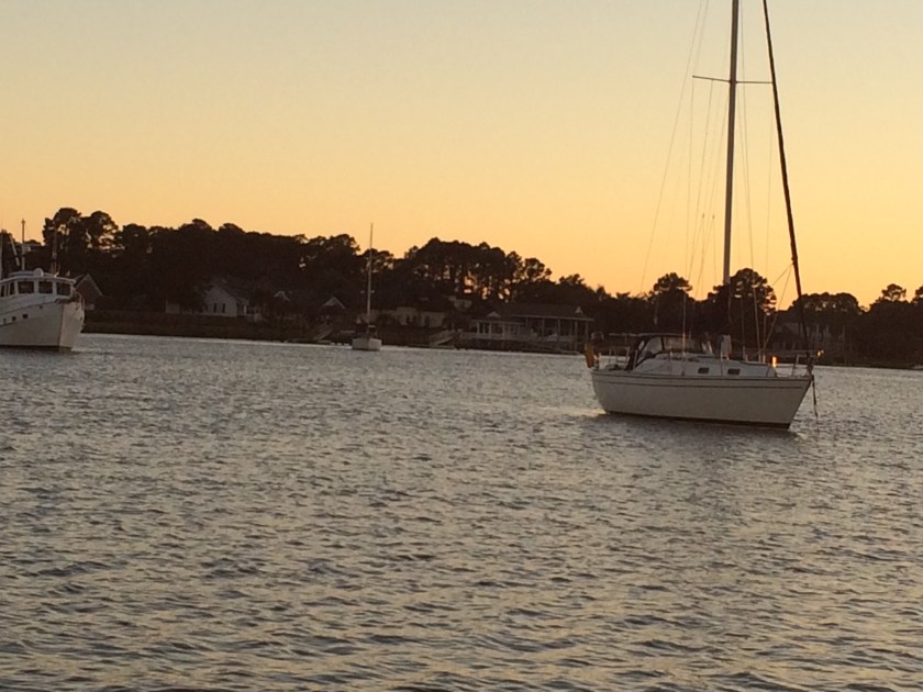
The rain stops and we set our course for Cumberland Island, Georgia’s largest and southernmost barrier island. It is uninhabited and only accessible by water. There are deserted beaches, maritime forests, wild ponies and tons of other wildlife. We are going to anchor out in Cumberland Sound, dinghy ashore and spend the day exploring.
Beaufort is at Mile Marker 536. Cumberland Island is 175 miles away at Mile Marker 711. We travel hard and long for 4 days. Traveling is harder on me than it is on Steve. He’s at the helm all day. Yes, that can be stressful at times but he’s in his element, and he is doing something. Me? I do a lot of nothing. It’s hard to read. There’s no internet. No TV. I can’t really exercise. I just sit there doing nothing. And since, I don’t do nothing very well I am really, really, really ready to get off this boat and explore Cumberland Island.
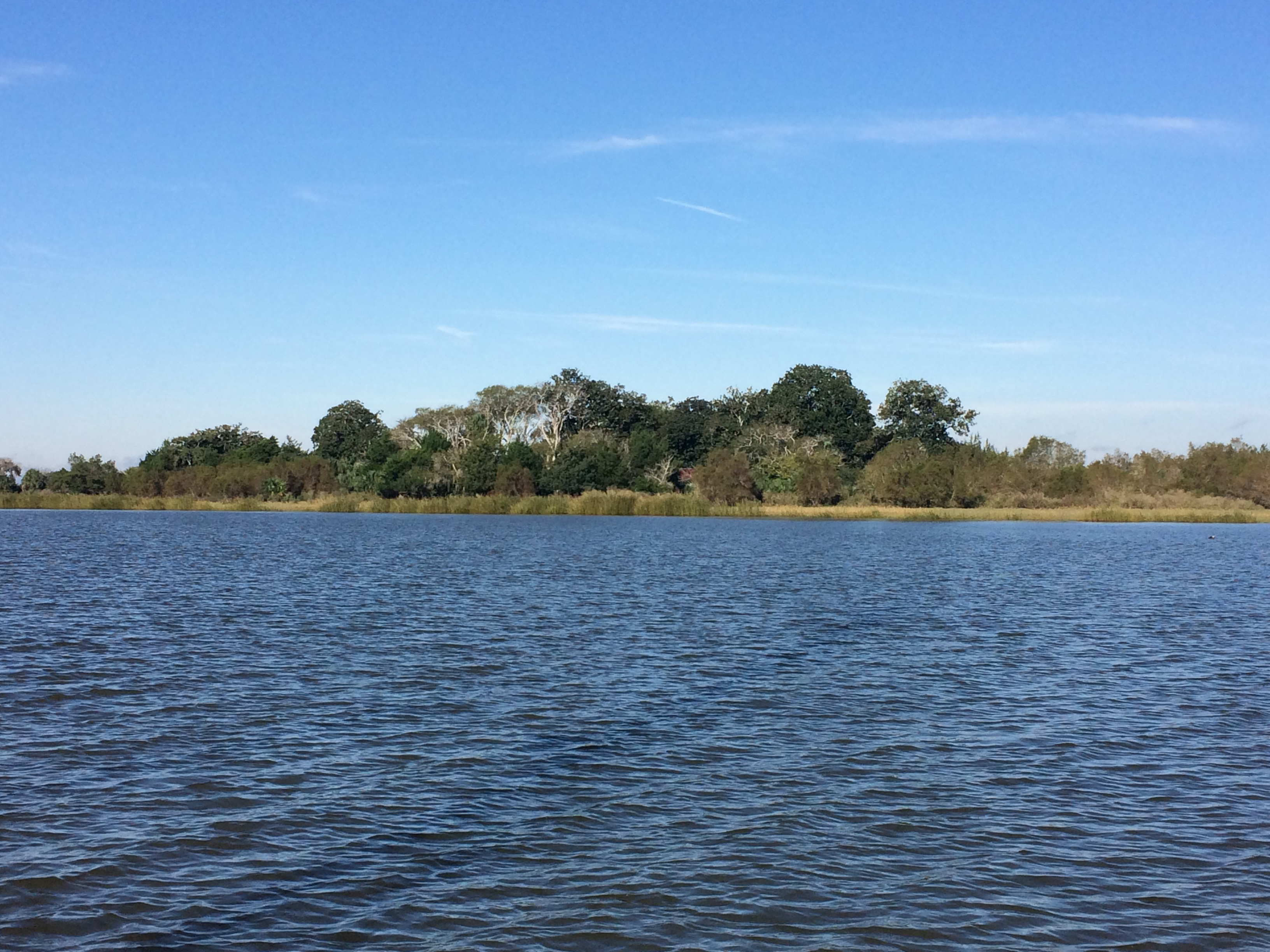
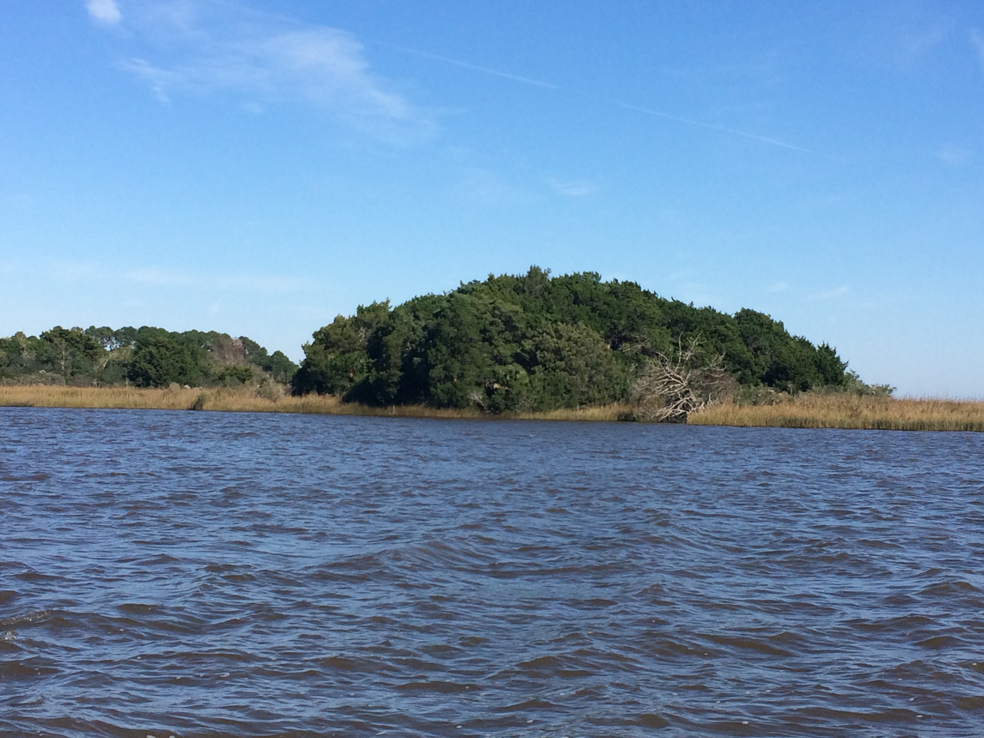
I’d had good luck picking anchorages. Good holding, calm water, light winds and no traffic make for a good night’s sleep. My luck runs out in the Cumberland Sound. A screeching northwest wind makes for a LONG night. Halyards bang and clang. The mainsail moans and groans. The anchor rode stretches and squeaks. Waves crash against FNR’s hull. Steve sleeps. I don’t.
Steve’s up early. I have a headache and desperately need to sleep. No such luck. Steve shakes me and tells me to get up. The anchor is dragging. The wind and the tide are pushing us across this narrow, crowded anchorage toward the shore. Steve cranks the engine and once he has control of the boat, I take the helm so he can reset the anchor. But, instead of resetting the anchor, he pulls it up on deck. I am so busy trying to figure out what he is doing that I don’t keep an eye on the depth gauge and bump! We’re aground. Disgusted with myself, I throw my hands up in the air. Steve takes the helm, gets us back in the water and heads toward the waterway.
He tells me we are not going to Cumberland Island today. The water is too rough and we’ll get soaked trying to get there in the dinghy. I nod. My head is still killing me so I sit there doing nothing. Luckily, our next stop, the Fernandina Beach mooring field, is not far away. I should be able to get off this boat soon.
M: How much further to Fernandina Beach?
S: We’ve passed it already.
M: Why didn’t we stop?
S: Water’s too rough in the field.
M: So where are we going?
S: You tell me.
I sit there but I’m not doing nothing. I’m thinking.
I’m thinking that I’m not the only one who really, really, really needs to get me off this boat. I’m thinking we’ll go to Jacksonville for a visit with my Aunt Glo and Uncle Doug. I’m thinking that will be a nice place to get off this boat.
I take two ibuprofen, open the Waterway Guide, log on to Active Captain.
M: I’m thinking we should go to The Marina at Ortega Landing. The first night is free.
S: Tell me how to get there.
The trip up the St. John’s River is interesting. It’s industrial. It’s commercial. It’s residential. There’s a red bridge, a green bridge, a blue bridge, a couple of railroad bridges and even a football stadium.


We’re on the T-dock at 4 PM. I’m thinking about a walk, a shower, electricity, Wi-Fi, and a good night’s sleep. I’m thinking it’s amazing that Steve hasn’t put me on a train back to North Carolina. I thinking life is good once again.
Thankfully, Steve thinks life is good once again, too. We talk – yes, we’re still talking – about what we’ve learned since leaving Oriental 6 weeks ago.
We’ve learned that we don’t have to travel long and hard every day. It’s okay to go slow.
We’ve learned that we should look for anchorages where we can dinghy ashore so I can get off this boat.
We’ve learned that warm and happy is good but warm, happy and dry is better.
We’ve learned that we really don’t know how to live on a boat but we’re doing it anyway.
Most importantly, we’ve learned that we are incredibly committed to our adventure. These waters are charted but our journey is not. We are grateful. We are humbled. And that, dear friends, is Zen on this Boat.

I find myself somehow strangely encouraged by your sharing of the struggles you’ve had in the ICW in the past six weeks. Not by the fact that you went through them, but that you’ve survived them.
My wife and I hope to head south for the very first time later this week. But we’re still in Cambridge, MD now, trying to get the last-minute ducks all lined up. We expect it’s going to take us four days just to reach Mile Marker 0.
But once we do, watch out! Just a few consecutive 200 mile days and we’ll be caught up right with you!
LikeLiked by 1 person
You should download the Serial podcast to listen to on those long days. It should satisfy your Dateline/60 minutes obsession!
LikeLiked by 1 person
I read “download” I think data usage. Gotta watch my data usage!!
LikeLike
I admire you, Marci. You’re so human, and you write so articulately about your feelings. You had me down in the mouth until the end of your blog, but closed with an uplift. Love you! Gary
Sent from my iPad
>
LikeLiked by 1 person
Gary: Thanks for the kind words! I love you, too. See you in a few weeks!! Marci
LikeLike
Did you see Doug & Glo? What is the destination?
Sent from my iPad
>
LikeLiked by 1 person
We have seen them. They took us to dinner the other night and we will be joining them for Thanksgiving. Destination? Warm, happy and dry!!
LikeLike